Frankenstorm Sandy Forecast
Enter ZIP code or City, State
Local Weather
Local weather by ZIP or City
Local area snow depth
CURRENT WEATHER MAPS
- Fronts & Pressure Centers
- Current U.S. Temperatures
- Northwest U.S.
- Northeast U.S.
- Mid-Atlantic U.S.
- Midwest U.S.
- Central Plains U.S.
- Southeast U.S.
- Southern Plains U.S.
- Southwest U.S.
- Alaska
Forecast Maps
Snowstorm Forecast
3 DAY NAM MODEL FORECASTS
- Clouds & Precipitation
- Temperature
7 DAY NWS FORECASTS
- Weather Type
- Precip. Probability
- High Temperatures
- Low Temperatures
- Cloud Cover
- Wind
- Relative Humidity
- Dewpoint
- Snowfall
10 DAY GFS MODEL FORECASTS
- Surface Pressure & Precip.
- Near Surface Temp. & Wind
- Air Mass Rel. Humidity
- Air Mass Temperature
- Jet Stream Winds
SEASONAL FORECASTS
- Temperature
- Precipitation
Severe Weather
U.S. Watches & Warnings
THUNDERSTORM
- Today's Thunderstorm Probs
- Today's Tornado, Wind & Hail Probs
- 3 Day Severe Weather Outlook
- Tornado, Wind, & Hail Reports
HURRICANE
- 2024 Atlantic Hurricanes
- Atlantic sea surface temperatures
SNOW
- Snowstorm Forecast
- Snow Depth & Snow Accum.
- Record Snowfalls by State
OTHER
- Drought Monitor
- Drought Outlook
- Today's UV Index
- Weather Questions
Satellite & Radar
U.S. RADAR WEATHER
U.S. RADAR COMPOSITES
- Northeast Radar
- Southeast Radar
- Gt. Lakes & Ohio Valley Radar
- S. Mississippi Valley Radar
- N. Great Plains Radar
- S. Great Plains Radar
- Northern Rockies Radar
- Southern Rockies Radar
- Pacific Northwest Radar
- California & Nevada Radar
- Alaska Radar
- Hawaii Radar
U.S. SATELLITE LOOPS
- Northeast Satellite
- Mid-Atlantic Satellite
- Southeast Satellite
- Great Lakes Satellite
- Midwest Satellite
- N. Great Plains Satellite
- C. Great Plains Satellite
- S. Great Plains Satellite
- Pacific Northwest Satellite
- Cent. West Coast Satellite
- Southwest Satellite
Latest Frankenstorm Sandy News
Satellite Loop
;
Snow Depth
Frankenstorm Sandy 3 hrly Forecast Cloud, Rain & Snow for Next 3 Days
NE Radar Loop
;
SE Radar Loop
East. Time
Cent. Time
Mtn. Time
Pac. Time
go to SANDY STORM REPORTS PAGE
Frankenstorm Sandy Circulation and Temperatures at ~5,000 ft. Altitude
(From weather.unisys.com, Updated twice a day)
Frankenstorm Sandy Forecast Total PRECIPITATION Next 2 Days
(From weather.unisys.com, Updated twice a day)
Frankenstorm Sandy Forecast Total SNOWFALL Next 2 Days
(From weather.unisys.com, Updated twice a day)
Frankenstorm Sandy Satellite Loop (Infrared)
Frankenstorm Sandy Current Surface Observations
(from weather.unisys.com)
STATE WEATHER CONDITIONS:
North Carolina
South Carolina
Virginia
New Jersey
Maryland
Delaware
West Virginia
New York
Connecticut
Rhode Island
Massachusetts
Maine
Northeast NEXRAD Weather Radar Mosaic
(CLICK to zoom)
Southeast NEXRAD Weather Radar Mosaic
(CLICK to zoom)
Frankenstorm Sandy 5 Day Rainfall Potential
Northeast U.S. Radar
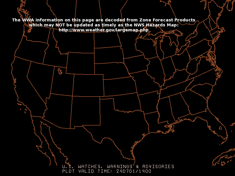
Frankenstorm Sandy Watches, Warnings and Advisories
(updated every 10 min.; click on a state for current weather)
Southeast U.S. Radar
for LOCAL WEATHER:
additional OPTIONS:
City, ST
-or-
ZIP code
-or-
ST
radar
-or-
snow
-or-
map
Copyright © 2023
WeatherStreet.com
Put our free WeatherStreet
weather lookup
on your web page.
Terms & Conditions